

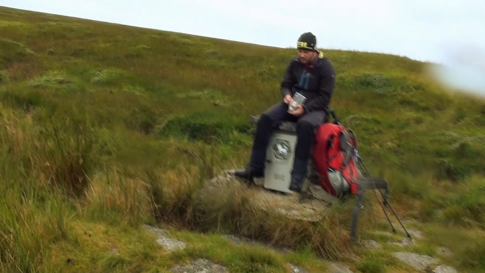
This strenuous 8-mile circular walk takes in river crosses and enters the Merrivale Firing range so be sure to check weather conditions and the firing times before you set off.
The walk also takes in 11 squares of John Heywoods Dartmoor 365 map, squares M9, M10, L8, L9, L10, K8, K9, K10, J8, J9, and J10 and was based on two routes from John Earles Walking on Dartmoor guide book.
To see our progress on the Dartmoor 365 please check out our interactive map!
Always be sure that you have a Dartmoor map and compass for any walks on the Moors.

The following 8-mile walk was based on a couple of separate routes from John Earle’s book – Walking On Dartmoor and takes in many great locations including Longaford Tor, Higher White Tor, Browns House, Beardown Tors and the mysterious stunted oak wood, Wistman’s Wood. Its a challenging walk with river crossings, that nears marshy ground and is strenuous and laborious throughout.
1. The walk starts at Two Bridges – There is a car park at Two bridges, although when we took this walk we chose to park our vehicle at a roadside layby just at the start of the B3212.
From here, some wall climbing was required for us to get onto the moors, and once in we headed North-East and climbed one more wall just below Crockern Tor.
Alternatively – if you don’t wish to wall hop (and why would you?) – you can walk along the roadside for the first section of this walk and enter the moorland via a gate just after Parson’s Cottage and walk North-West and you will soon be upon Crockern Tor.

2. From Crockern Tor, looking to the North, you can see the next Tor that you will be visiting – Littaford Tors. (The mountainous looking tor is actually Longaford Tor further behind). There is a distinct track heading in the direction that you wish to take, but the distance is a little deceptive, and its a 1.5km trek across moorland. There is another wall to cross here – but there is a stile this time.
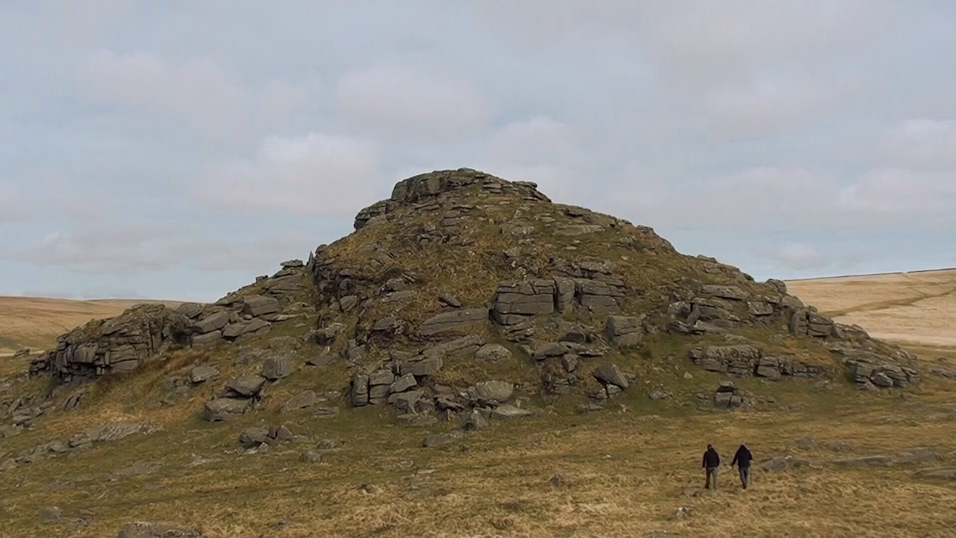
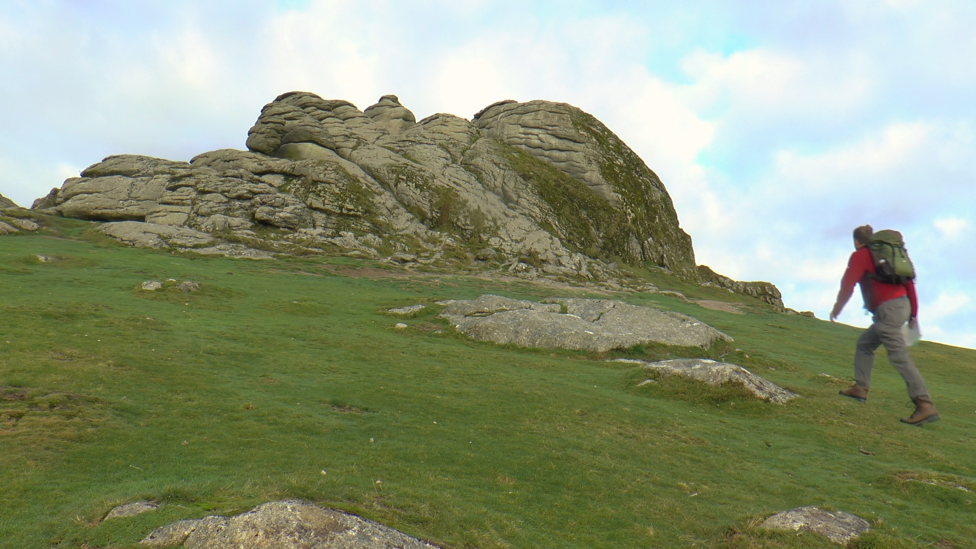
3. From the widespread cluster of granite rocks that is Littaford, continue heading North to reach the impressive Tor of Longaford. From the Summit of here you can enjoy impressive panoramic vies and to the South East you can make out the top edge of Wistman’s wood as it peers over the top of the valley ridge.
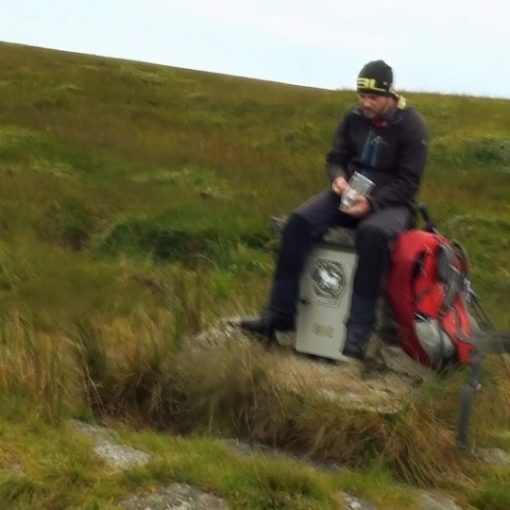
4. Head North East again from here to get to the highest point of the mornings walk, Higher White Tor (there is a stone row along this section, about halfway between the Higher White and Longaford, but we didn’t take this in) and it is dutiful to put a stone on top of the Cairn at the top of Higher White Tor. We even took this time to give a primal scream of “Suuummmiiitttt oooorrrrr Nooootttthhhhiiiiiinnngg!!!” Well, why not – thats our thing.
5. Now a quick stomp down hill, heading North to take in Lower White Tor. Apart from a steady climb, the walk so far has been over quite reasonable ground. This will deteriorate from here as we head North West towards the ruins of Browns House – over some boggy ground, especially to the East of the old stone house itself.

Browns House – as legend has it – was built by a dour, bunglesome man called Brown, who built this house in the middle of the moor in order to keep his pretty young wife locked up and away from the temptation of other men.
The little building is quite an interesting little historical site, although I don’t think that Nath was too impressed, he fell asleep… I know… he’s great company out on the trail.
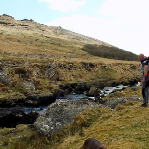
6. Next, head west, over a little stream, and straight up the tussocky hill towards the summit of Rough Tor but please note that you are now entering the Merrivale Range, so be sure to check the firing times at before you set out.
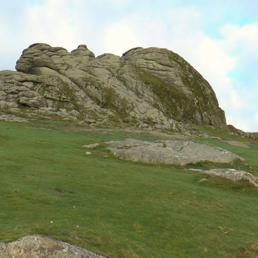
This isn’t the most impressive tor, and with its little hut it looks much like Steeperton Tor in the Belstone Area, but you can take in plenty of the walk so far and the walk ahead from here, including the triple outcrops of Beardown Tor a great distance South of this location. But we are not heading there just yet.
7. Next, head just slightly south of West next and over to Devils Tor, a little less than 1km away. This tor is home to the impressive Beardown Man standing stone.

The Beardown Man standing stone stands at 3.5m’s above the ground (and some suspect a good 2m’s below) which is claimed to be at the highest altitude of any of Dartmoor’s menhir’s and is said to have been erected over 4000 years ago.
To the South West of here we can start to see the Merrivale Tor’s coming into view, the impressive Great Mis Tor with the smaller rectangular outcrop of Little Mis Tor on its Southern Flank, with Cox and Roos behind them both (to the right of Great Mis) and to the North, the remote fur Tor can be seen peeping over the horizon.
8. Now the most lengthy and arduous walk of the day, between Devil’s Tor and Beardown Tors. This is a two-mile trek across ankle length tussocky terrain, so it is not only featureless and laborious but very hard going. There are two tors that we walk between here, Crow Tor on the left, and Lydford Tor on the right that you may choose to incorporate, but we didn’t take either of these tors in.

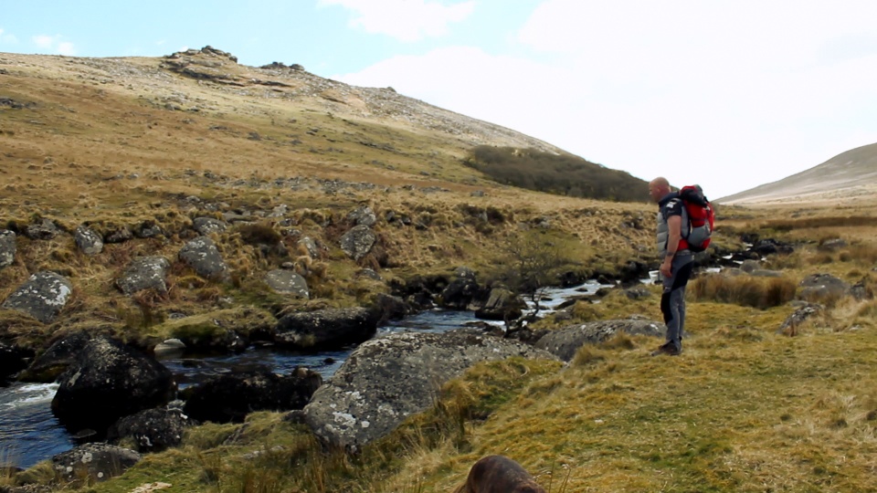
Finally, we reach the three Beardown Tors and summited all three of these awesome granite tors before heading towards our final destination on this route, Wistman’s wood to our east. The ground for this final downhill slog is not very nice at all and saw me take a tumble before we reached the bottom. Also, it’s worth noting that there are two rivers to overcome here too, so again, make sure there has not been excessive rainfall in the days before you set out.
But after that struggle, its all made worthwhile to finally reach the haunting Wistman’s wood, whose gnarled and stunted Oak trees, amongst the moss lined granite looks very much like something from a Tolkien novel. This is presumed to be the remains of an ancient forest that dates back to 7000BC.
However, it is a nature reserve, so access is forbidden, as we didn’t realise at the time, nor did we realise that where we pitched our tent, just off of the edge of the woods, was also forbidden, so it’s worth noting where you can camp before you camp on Dartmoor by checking the Dartmoor camping map to tell where you can and cannot camp.
http://www.dartmoor.gov.uk/about-us/about-us-maps/new-camping-map
So now the walk is as good as over, and its just a case of finding your way back to your car, wherever you parked. Littaford Tor is just east of the Southern point of the Woods, or there is a track South that seems to lead into Two Bridges and the main car park.
And if you don’t mind fruity language (we apologise in advance – we have curbed it and censored it in later episodes) you can watch this particular walk and wild camp video here!

Leave a Reply