

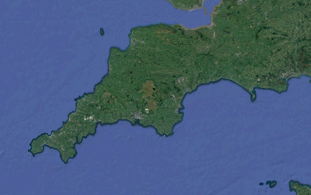
For today’s walk (I say today but it was actually 3 months ago as I sit and type this), I am (was) lucky enough to be (have been) joined by my wife Donnah as we walk(ed) the first stretch of the South West Coast Path, from Minehead to Porlock Weir. This 9 and a 1/2 mile walk took place on the 19th May 2018, when the rest of the country was sat in watching a Royal Wedding, we were out enjoying the coast and celebrating 8 years of our own marriage. Let’s see if Harry and Meghan make it to 8 years!
It was mid May, (the 19th to be precise – the day of Harry and Meghan’s Wedding) and around the time of my wedding anniversary to my wife Don-Don. For the first time in 8 years of marriage, we had managed to palm off the children for the weekend, and at last had a weekend to ourselves. How better to spend our first weekend together than hiking along the South West Coast Path? And where better to hike than the very start of the path itself, at Minehead, in Somerset? And the following day we intended to walk between Porlock and Lynmouth!
The weather was fine, a mini heatwave had struck and the conditions were set to be great for a days walking, hopefully not too hot! Armed with our South West Coast Path North Devon / Somerset OS Map and the Complete Guide to The South West Coast Path (important to have to know what great things to look out for as well as giving additional instructions to find your way should the acorn let us down), we set off on our journey.

We started at the monument signifying the start of the South west coast path (or the SWCP Marker) and obviously took the obligatory photos. Well, actually we started a little way into town, having found a street to park in for free (it gets expensive paying the parking along the coast), and when we reach Porlock, we will be getting a bus back to Minehead! Tomorrow we will be paying for two cars at either end, so we are always on the look out for pound stretching where we can, especially as most car park s are about £8 per day! Soon adds up!
Anyway, from the monument, the view back across Mineheads sea front and the Butlins skyline are the views to the right, which we leave behind as we head west, where the coast path makes a huge climb up through the woodlands, and the climb is mountainous, a zig-zag route that soon loses the sea view. Don, at this point, was not used to walking the miles that I have in the past, and this hill took its toll on her, but being strong willed and determined as she is (she’d have to be to put up with me), she trucked on and never once moaned or whined, although she did turn a deep red!
As we burst out of the trees and back into the sunshine as we summit North Hill and through the thin layer of haze across the Bristol Channel we could make out the Welsh coastline along the horizon. Occasionally you could see a large mushroom cloud of smoke from some industrial town over on the South Wales coast rising into the air and slowly dissipating.

We find a sign, and alongside the Acorn we are informed that Bossington is 4 miles – this is the direction that we take, walking through the edge of Exmoor. It is not long before we meet a fork in the road, where there are alternative routes to the same point. One route is the easy route, taking in the highest point of this walk (a route that Donnah favours) and the other route is labelled as the rugged route, and which snakes around the coast line (needless to say that this sounds like my cup of tea.) So, we agree to disagree and both take a route each, bidding farewell for a short part of the journey.
My route almost immediately proves to be the harder route, but much more like what I am used to with the path weaving its way along rugged coast line, rising and falling with some fantastic valleys simialr to any stretch of the North Cornish coast. The Bluebells are out, and the ocean waves crash below. Don’s route, she admits herself, becomes a little dull. Stuck behind a hedge for the majority of it and walking alongside a featureless shrubland, even the view from the highpoint (Selworthy Beacon) is a little disappointing.

On my route, I become aware that it is a longer route, the South West Guide says that it can add an extra hour to the walk, and when I receive a missed call from Don and then can’t get through to her, I begin to panic that she is already at the point where our routes meet, so I begin to up my pace and rush along the windy but none the less beautiful route, hurrying to meet her and keep her from waiting. Little did I know that she was merely phoning me to inform me that she could see me from where she was stood. A text would have done the trick and not panicked me so much. As it was, the following part of the rugged route seemed never ending as I edged towards Donnah, and as I hastily stomped to meet her, she calmy strolled her route, getting shots of all the interesting birds that she saw en route. As I finally saw the point where our paths meet, I also saw Donnah casually strolling down towards me from the direction of Selworthy Beacon.
We stopped for a spot of lunch and a G&T at the top of Bossington Hill, a scenic valley that leads down towards the sea, and the village of Bossington and the expansive pebbly coastline of Porlock Bay. We enjoy the views and the respite for about half an hour before setting off again, and following the path down. At the bottom there is another alternative track that branches off to the right towards Hurlstone Point. Well, it would have been rude not to, so we head out there and take in the views from this vantage point.

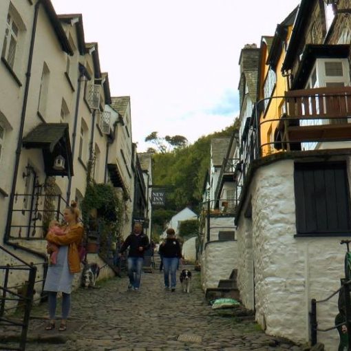
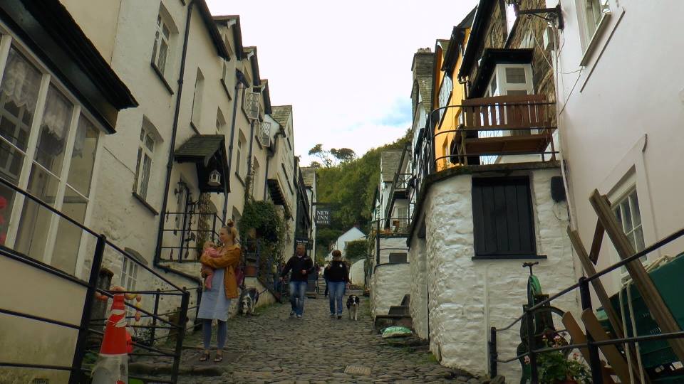
We soon head back the way we came and descend towards Bossington, down alongside the river, where there were lots of families enjoying the water and numerous rope swings, although the midges were out in force over the water too. We cross the large footbridge and come through the car park, before weaving our way through the village, with some beautiful little thatched cottages along the way, and then eventually heading out to the marshlands for the final stint to Porlock, walking inland, alongside the submarine forest, before finally rejoining the coast at Porlock beach for the final stroll to Porlock Weir, where a quick pint was long over due.
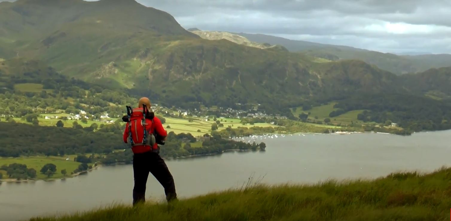
Compared to the dramatic clifftop walks of the North Cornish Coast that I have done so far, this part of the coast path was a little less interesting, a lot of it seemed quite inland and the pebble beaches are not a patch (in my opinion) to the sandy beaches I’m used to, but it was a nice walk, was great to get out walking with Donnah, and a good effort to tick off the first stint of the Coast Path. We both look forward to the following days hiking between Lynmouth and Porlock.
Leave a Reply