

May 2018
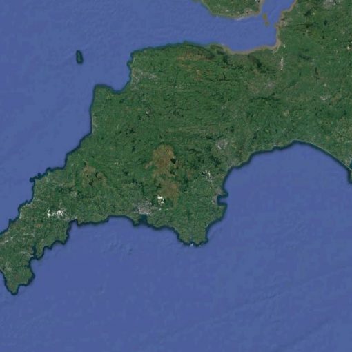
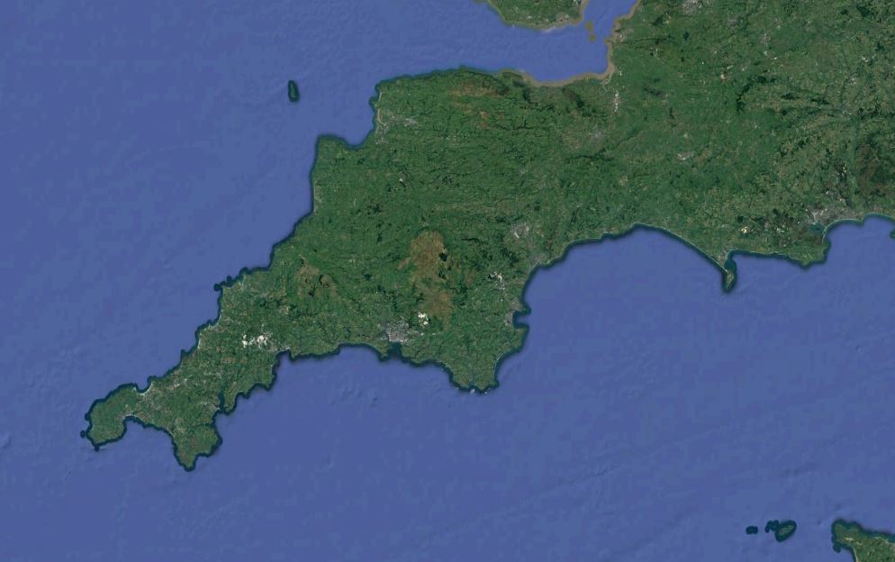
Today I continue along the South West Coast path, I return to North Cornwall, taking off from Rock, where I left the path several weeks ago, and walking due south towards Treyarnon Bay. This moderate 13-mile walk took place on the 7th May 2018, the bank holiday Monday and the photos were all taken by myself, either on my DSLR or they are screenshots from the accompanying vlog from our Summit or Nothing YouTube channel.

This section of the coast path was a fairly moderate walk, especially compared to some of the area’s I have visited so far. For the majority, the walk was mainly on a level, low lying clifftops just slightly higher than the many beautiful white sandy beaches that I passed.
The starting point for today’s walk was Padstow, where myself and Dionis ended our walk back in the final days of March. Well, we actually ended in Rock, so it seemed only right that I should start there too (parking at the Quarry car park) and hopping on the ferry across the Doom Bar of the River Camel. £2 for a one-way trip, and for me it’s any excuse to get on a boat as I love the ocean as much as I love the dizzy heights of the mountains.
When I left my house this morning, it was absolutely glorious, not a cloud in the sky, but then, I was inland. Unfortunately, as I approached the coast it soon became apparent that there was a wall of sea mist clinging to the North Cornwall coast, shrouding those amazing views behind a veil of pea-soup. In fact, as I awaited the ferry, I couldn’t even see the other side of the river. Not long after my arrival at the pickup point, like an apparition, our transport eventually emerged from the mist.
The air was cold, and as I had prepared for the sun, I had no over coat, (well, that teaches me to not check the weather before I left), so the ferry ride was the coldest part of the day, but once across, I soon picked up my pace and got my stomp on, increasing my blood flow and body temperature. In fact, no sooner was I at the other side of the bay the mist seemed to thin a little. The views still weren’t as far reaching as I was used to, but I could just about see the opposite side of the estuary.

Passing the war memorial and then the World War II Gun Station positioned over the bay, I followed a distinct path which led in land above Harbour cove, taking me through fields and behind a hedgerow which prohibited my view of the coast somewhat.
Once leaving the fields, I came to a four cross way, and headed up hill to my left, which turned out to be the wrong way (if you reach a gate with a sign for Lellizzizk Farm then turn around). I should have headed to the right, and soon amended my route.
Soon I was back on the coast path above Harbour Cove and Hawkers Cove. From here the walk up to Stepper Point was one of the largest climbs of the day, and the views from here are said to be amazing, with the Bodmin Moor clearly in view inland, unfortunately, as I reached the top, the fog grew thicker and the views were shrouded from me. Never mind, I took a quick look around the Daymark Tower at the very top before continuing on my route.
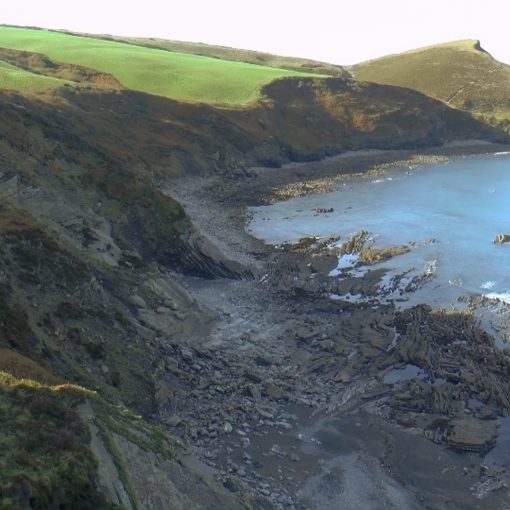
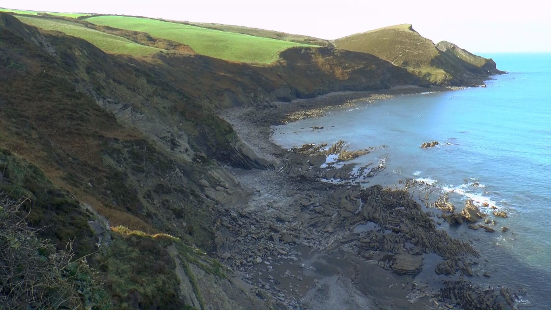
The cliff tops and coastline along the next stretch were more in line with what I had seen in my previous North Cornwall walks, with more rugged and complex erosion from the ravaging Atlantic ocean. The sea boiled beneath me as I made my way around Butterhole Bay, where I stopped a short while to watch the waves crashing over the rocks below with the various minerals bringing a wonderful variety of texture and colouring to the rocks exposed layers.
The path above here seemed to have been recently eroded and so a new path slightly inland had been formed. The jagged rocks and cliffs of Gunver Head were a sight to behold, even in the cloaking mist, and the cliff faces seemed to have eroded in almost cubic rows.

As I approach Trevone Bay, the cliffs seem to fall to a lower level, and the land of the coastline ahead appears to slope more gently into the beaches and rocks. The rest of the walk from here is fairly easy going.
Trevone Bay seemed to have been the brightest patch on the walk so far, and as I walked around it, the sun seemed to burn the mist away and it was no wonder that people were starting to bath here and enjoy the beach, and the rocks beyond the beach would make a great place to take the kids rock pooling.
As I emerge above Harlyn Bay, so the mist decides to join me once again, but its reasonably thin and hasn’t discouraged the many people who take the beach. The coast path brings you down on to the beach, and for a while, we walk along the sand, which always makes for harder walking, but the amazing sandstone rocks that have formed here are an interesting geological feature that you would miss from above.
Once back up on the cliffs, and heading away from Harlyn Bay, I manage to capture a stunning little shot with my DSLR of a little cottage with a jetty, and Harlyn Bay to the left hand side, and the mist just creeping in in the back ground makes for a wonderful natural vignette. I follow the path until I reach another beautiful little beach known as Long Cove, and in the distance, we can see the Lifeboat station dipping into the sea. This is not actually on the path but I decided to take a little walk down to it anyway for some photography.

Getting back onto the path, I climbed back over the cliffs and due to the mist which again began to thicken up, I almost walked straight past the second Lighthouse that I had seen on my exploration of the South West Coast Path so far, at Trevose Head. A little further along, just before the massive collapsed cave of Round Hole, I glimpsed at the foot of a relatively large clifftop the wreckage of a car, that had at some point gone over. The path continues past a large outcrop at Stinking Bay, which I didnt take in as the mist was thicker here than it had been all day and it hardly seemed as though the views from that vantage point would be worth the extra mileage, so I carried on the cliffs towards Booby’s Bay (much hilarity to be had here) where there were many surfers out taking full advantage of the clean swell.
The route takes us then back down onto the beach of Constatine Bay and from here a short walk over the low cliffs to our end destination for today, another beach, Treyarnon Bay, with its own natural pool carved in the rocks. It’s here that I met my wife and children, who had turned a shade of purple sat on this cold mist hidden beach whilst waiting for me.
So a fair journey, with 13 miles taken in overall, but a lot easier than a lot of the previous coastline. If you would like to join me on this adventure then you can check out the video here, or below and if you enjoyed that and would like to join me on more of my journey around the South West Coast Path then please subscribe to Summit or Nothing on YouTube, for this and much more hiking, mountain hiking and wild camping.
Leave a Reply