
(When You Are Nowhere Near a Mountain!)
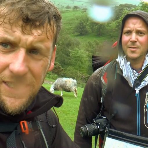
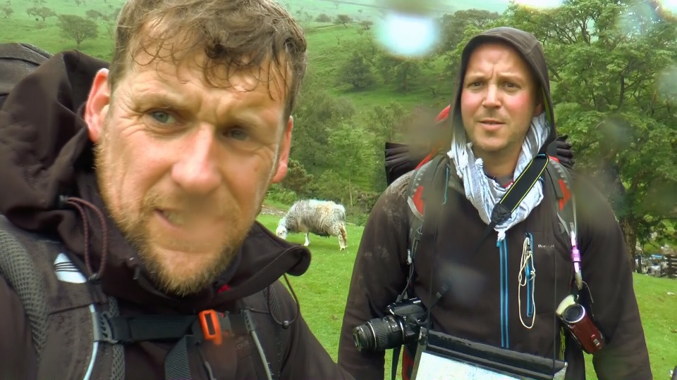
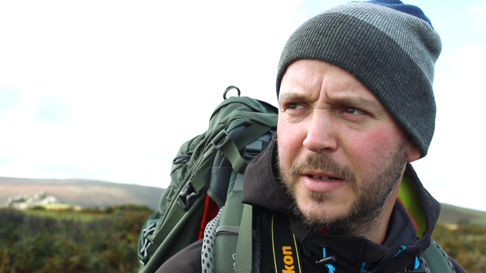
When Nath and myself were first setting out on our mission of conquering the three peaks, we knew that it was always going to be a bit of an operation. Being situated on the border of Devon and Cornwall gave us limited options for mountain training. We are a little under 200 miles away from the Brecon Beacons, a little over 300 miles from Snowdonia, a little under 400 miles from the Lake District and Ben Nevis was over 600 miles away from our front door.

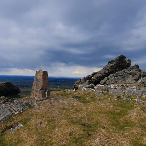
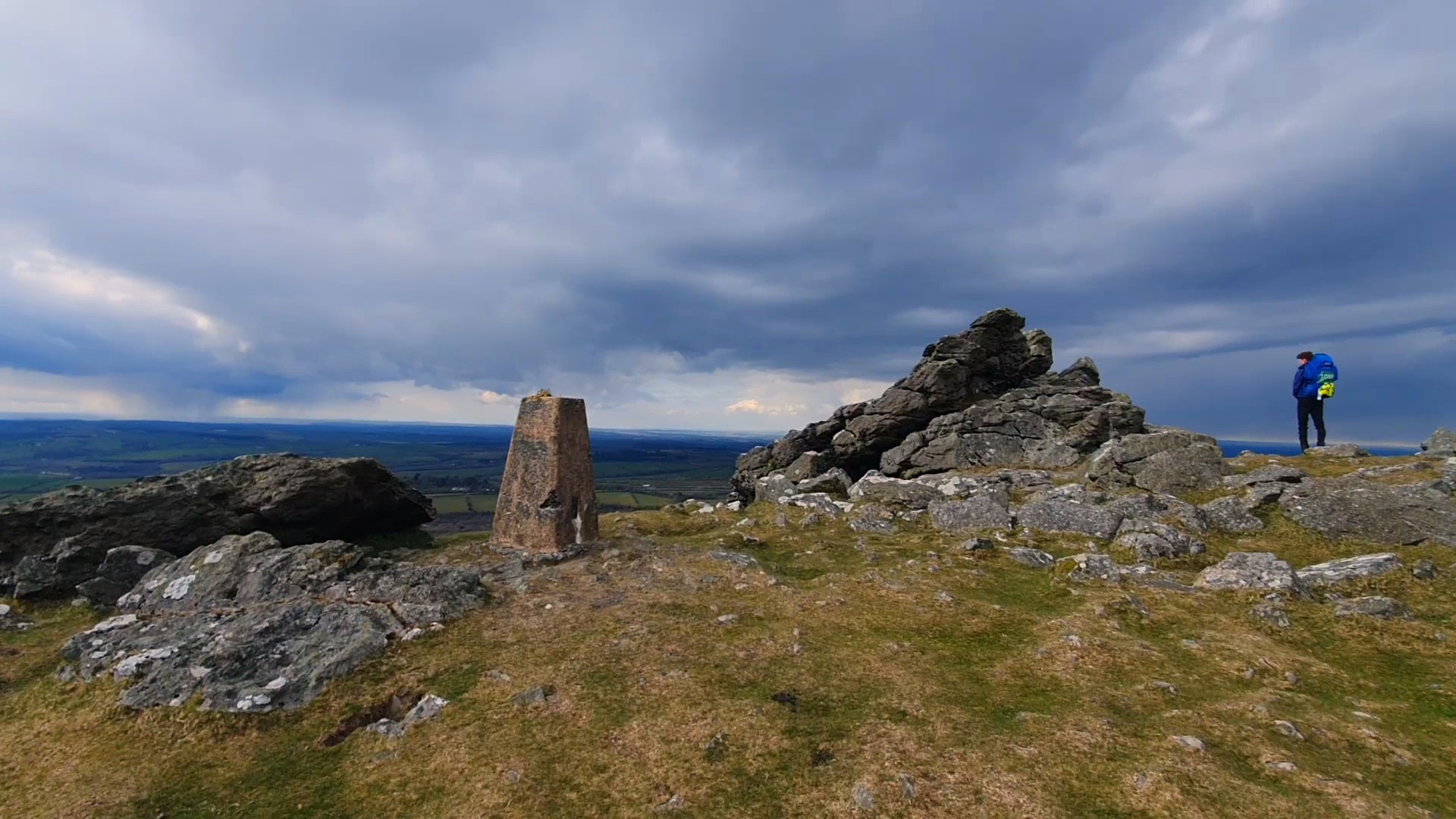
It seemed obvious that the best training ground for us was going to be Dartmoor, with its tors and mountainous hills looming above the Devon skyline, seen for miles away. The definition of a mountain is a bit of a grey area and some would argue that many of the Tor’s of Dartmoor are mountains; in fact, themountainguide.co.uk. has 80 of Dartmoor’s tors listed as mountains.
Regardless, Dartmoor’s highest Tor and the highest spot south of the Brecon Beacons is High Willhays, so this seemed like a great place for us to start our mountain hiking training, and so we did. We soon began to pick away at the moor, ticking off tors and clocking up miles, and yes, Dartmoor is a great place to train for mountain hiking.
However, we would only manage to get out once a month, and so, by the time we finally went hiking up our first mountain, Snowdon, Wales tallest mountain, it became apparent that I was completely underprepared. It was one of the hardest hikes that I had ever done.

We (or mainly I) was constantly feeling the need to stop and regroup, catch my breath, or as I explained to Nath, ‘take in the views’. We were constantly being over taken by people of all ages, of all shapes and sizes, even those in comedy outfits raising money for charity. It was a shameless first attempt at a mountain. Granted, I had only been walking and hiking for about three months up until then, but it was obvious that monthly excursions to the moor wouldn’t cut it.
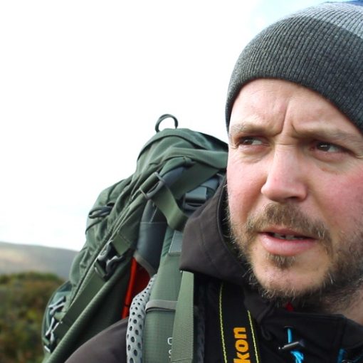
I needed more training to keep me busy in between those days that both Nath and myself were available for a hike on Dartmoor. You may suggest the gym as a place to train and keep fit, which I have tried, yet I find the sterile environment, and monotonous regime of repetitive exercise completely and utterly dull. I need to be outside.
So, in preparation for our next mountain excursion, when we would be hiking up England’s tallest mountain, Scafell Pike in the Lake District, I turned to the coast.

Using The Coast To Train for the Mountains
My first coastal walk was fairly local to me, and a generally easy stomp of barely 6 miles on the North Cornwall coast. Starting at the National Trust car park at Sandymouth, I headed south to Compass Point in Bude and then headed back again. Not a huge walk, I know, (I literally had a free handful of hours to get there and back), and doing this a few days before our Lake District road trip, it not the best preparation for Scafell Pike either, which still ruined me, and although a good 100 metres shorter, it seemed harder even than Snowdon.
However, by taking and enjoying this coastal walk something stirred in me.
By now, as you all know (if you follow the Summit or Nothing YouTube Channel that is… if not, why not?) I was soon to become obsessed with the coast walking, and have even taken on the challenge of walking all 630miles of the South West Coast Path entirely… slowly but surely. At the moment I’m 250 plus miles into this walk. But, the point that I am trying to make is, there is no where quite like the coast to train for a mountain hike.
Walking the South West Coast Path is the Equivalent of Climbing Everest 4 times.

Ok, so the coast walk it is not a constant climb as it often is on the side of a mountain, but throughout each walk, the rise and fall of the coast is a great way to get used to ‘all the up.’ If you were starting to train for running a marathon, they recommend that you begin to run for 3 minutes and then walk for 3 minutes and slowly progress to longer stints of running. Well, coast walking is no different. The alternation between ascending and descending slowly but surely builds up your muscles and your stamina. Plus, walking is such a great relief for your mental health that doctors in Scotland are now prescribing it to patients suffering from depression.
The climbing can knock you for six at first, but once at the top you are soon awarded not just some fantastic ocean views, but also with a more level walk or a descent back down to sea level. By the time you reach your next ascent, you are relatively recuperated.
They say that walking the South West Coast path is the equivalent to climbing Everest four times. In fact, on one day, I walked a 12 mile stretch of Coast and clocked up a total ascent of 4597feet or 1401 meters which is 50 metres more than the height of Ben Nevis.
Recently, in the back of Trail Magazine, I saw a chart to fill out entitled #EverestAnywhere. where you can add your own walks together until your total ascent is equal to the 8848 metres that make up the tallest mountain in the world. I’m a geek for these things, so needless to say, I decided to start it myself, and added my most recent 18 mile hike along the North Devon coast. I was astounded to see that in just 18 miles I had managed to ascend 1798 metres, which was practically one fifth of the height required!

Ben Nevis was a doddle!
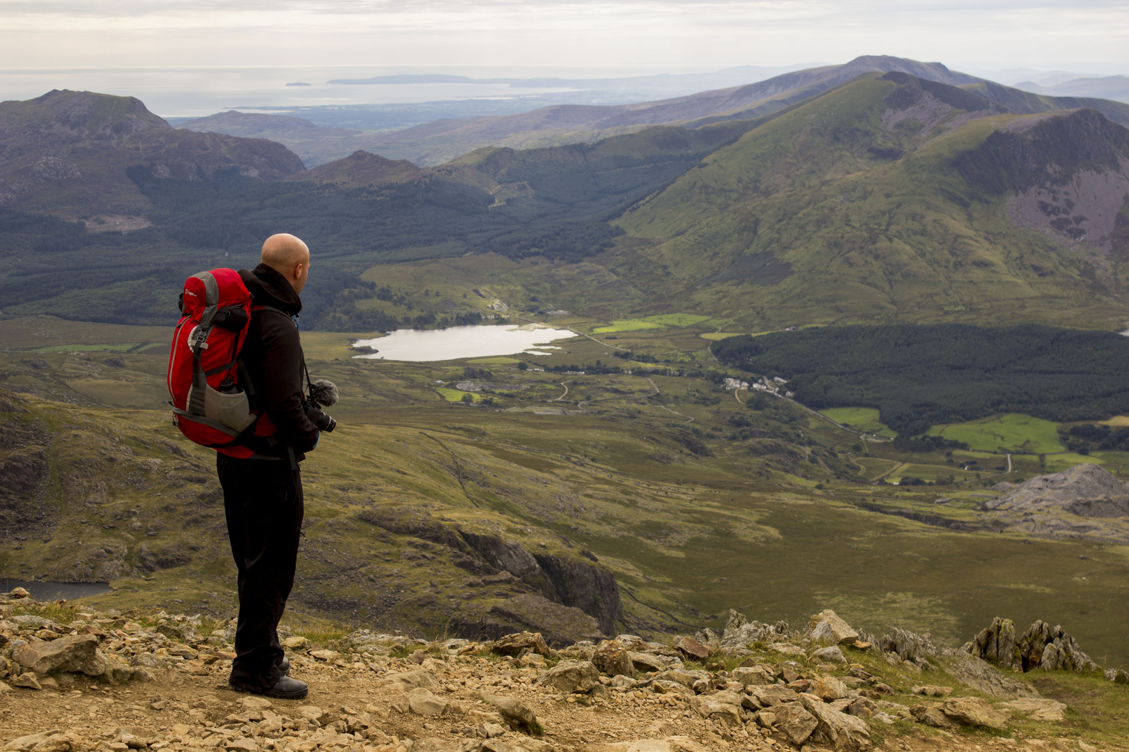
Anyway, Ben Nevis, was the next mountain on our list; Scotland’s tallest mountain, the largest mountain in the UK, the biggest of the three peaks, this was going to hurt. And so, in the summer of 2018, after a 12-hour car journey and a night in the hostel beneath the Ben Nevis Inn, we embarked on this, our crowning achievement. After a lot of panicking and discussion of what gear to take and what to leave, we set off up the Tourist Path (aka the Flip-Flop route). And a funny thing happened.
It seemed that my coast walks had paid off. The climb, whilst still challenging, was not as hard as I may have expected. We walked for ages before needing our first break. We were the ones doing the overtaking, and not the other way around for once. I felt both physically and mentally more attuned to the climb, and I knew that it was the coast walks that had helped me to build me up.
So, if you want to climb a mountain, but you are nowhere near any, please do not be discouraged. There are always alternatives training grounds nearby. Ok, so some of you may reside in landlocked counties, so ask yourself, where are the best hills near me. How much ascent can I get out of local circular walks? If you are a city dweller, why not pick the tallest block of flats and take the stairs to the top? But never give up! Where there’s a will there’s a way.
Here are some links to a collection of great maps/books for Mountain Hiking, Coast Walking and Dartmoor exploration that helped us along the way.
Lake District South Western Area OS Map
Snowdon – A Pocket Guide To the Hiking Routes
Britains HIghest Mountain Walks
The South West Coast Path Trail Guide

Leave a Reply